Hurricanes begin as tropical depressions, areas in the lower atmosphere where wind speeds increase with thunderstorm clouds spinning counter-clockwise around an area called a “low-pressure” zone. Once the winds reach 39 mph and above, the “tropical depression” receives a name. When the National Weather Service first spotted the soon-to-be tropical depression in the Bahamas, Florida went on alert. Katrina turned into a category 1 hurricane on August 25, 2005, crossed the southern tip of Florida, then moved northwest into the Gulf of Mexico.
Weather watchers and the entire world watched as Katrina inched closer to the Gulf Coast states of Alabama and Louisiana. The storm gained strength over the next several days as it moved closer to New Orleans. The hurricane had by then increased in strength to a category 3 with maximum sustained winds of between 111 and 129 mph. Those who lived along the Gulf Coast went on high alert. The entire region became a hodgepodge of warnings and evacuation orders. Between 25,000 and 30,000 people took shelter in the Superdome. Many didn’t heed evacuation orders, taking shelter on rooftops and bridges to escape flooding.
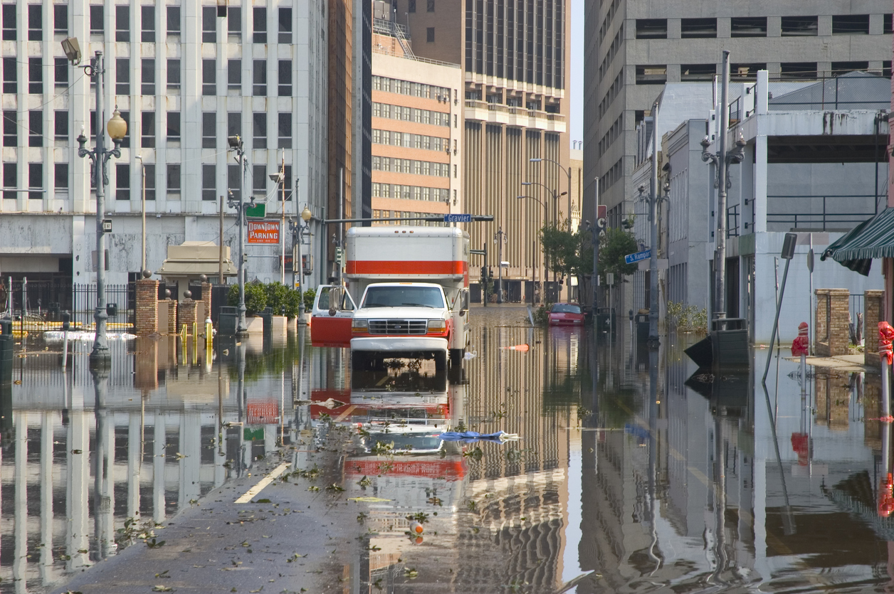
Katrina made its second landfall at 6:10 a.m. on August 29, 2005. Overnight, the hurricane’s maximum sustained winds reached the category 5 strength of 157 mph or higher. Although Katrina weakened as it slammed into the Gulf Coast, the storm’s epicenter was just east of New Orleans. The result was catastrophic levee breaches that flooded the city. Hurricane Katrina was the costliest hurricane ever to hit the United States. In addition to the estimated $161 billion in property damage, the death toll was 1,833 lost souls.

